
Home › Routes › Chennai to Tirupati
Route · Tamil Nadu and Andhra Pradesh · From Chennai
Chennai to Tirupati: Distance, the Road, Bus, Train and the Climb to Tirumala
Tirupati is the nearest big pilgrimage to Chennai: about 136 km to the town, then 22 km of ghat road up to the temple at Tirumala. Here is how far it is from different parts of Chennai, the road and the towns on it, the bus and train, what the drive costs in fuel, and the ways up the hill.
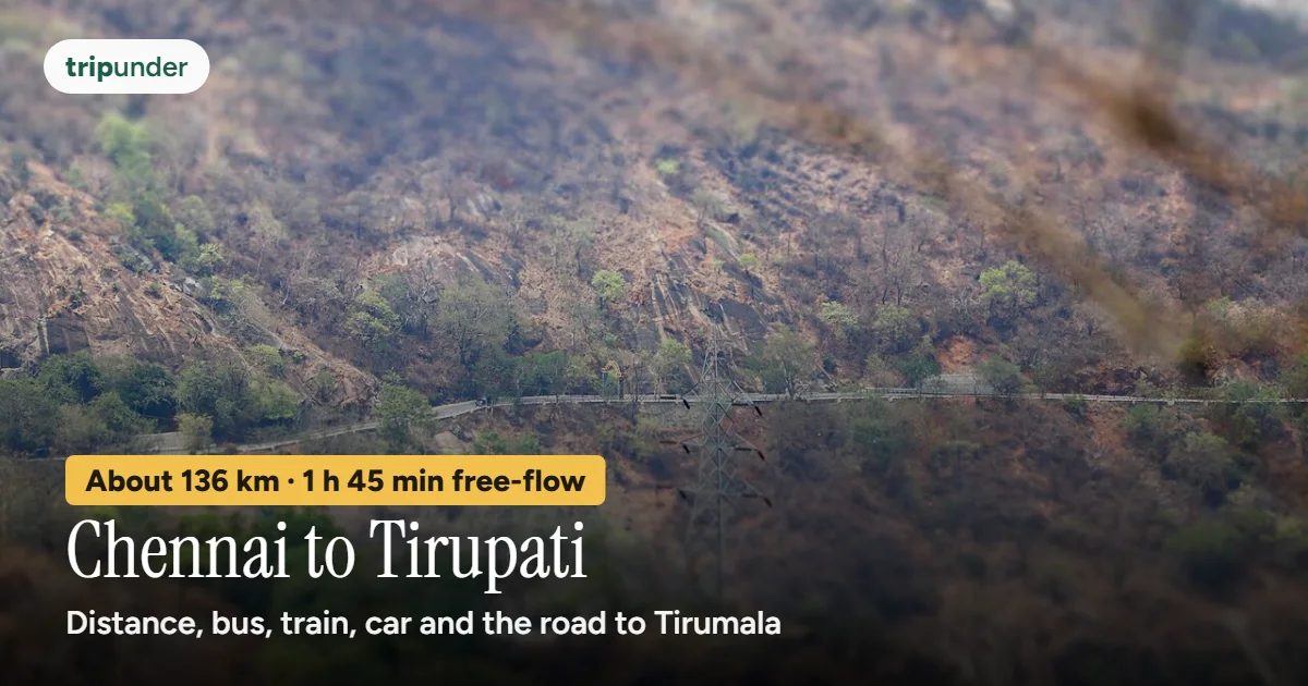
Photo: IM3847, CC BY-SA 4.0, via Wikimedia Commons. Text added by Trip Under.

Short answer
Tirupati is about 136 km from Chennai by road, measured from the city centre, and about 1 hour 45 minutes of driving on a clear road by OSRM's free-flow estimate. The road goes north to Red Hills, then through Uthukottai and Puttur. The temple is not in Tirupati town but on the hill at Tirumala, about 22 km further up the ghat road, so Chennai to Tirumala is about 158 km. The cheapest way is a government bus, but we found no official or dated fare, so check the live fare. By your own car, fuel is about ₹970 one way to Tirupati at Chennai's petrol price and an assumed 15 km a litre. From Tirupati, free buses run to Alipiri at the foot of the hills, where the footpath starts.
For most people in Chennai, Tirupati is a one-night trip: out in the evening or before dawn, darshan, and home the next day. The distance is the easy part. The parts that decide your day are getting out of north Chennai, the climb from Tirupati to Tirumala, and having a darshan slot when you get there.
How we worked it out. On 12 November 2026 we routed Chennai (Wikidata's point for the city, near Park Town), Koyambedu and the airport to Tirupati town with OpenStreetMap routing (OSRM), checked the Tirupati and Tirumala points against OpenStreetMap's gazetteer, and looked up the towns along the route line. The times are free-flow estimates: they assume an empty road. Fuel is distance times a dated petrol price, divided by a mileage we assumed. Where we could not find an official or dated fare, we give none.
How far is Tirupati from Chennai?
| From | To | Road distance | Drive (free-flow estimate) |
|---|---|---|---|
| Chennai city centre | Tirupati town | about 136 km | about 1 h 45 min |
| Koyambedu (CMBT) | Tirupati town | about 135 km | about 1 h 45 min |
| Chennai airport (MAA) | Tirupati town | about 147 km | about 1 h 55 min |
| Chennai city centre, via Tiruttani | Tirupati town | about 155 km | about 2 h 5 min |
| Chennai city centre | Tirumala (the temple, on the hill) | about 158 km | about 2 h 5 min |
| Tirupati town | Tirumala, by the ghat road | about 22 km | about 23 min |
Open the route in Google Maps directions for live traffic on the day.
Every way to get there
| Way | Time | Cost | Good to know |
|---|---|---|---|
| Government bus (APSRTC, TNSTC, SETC) | Check the timetable | Check the live fare | We found no official or dated news fare for a Chennai–Tirupati government bus. Check the APSRTC or TNSTC site, or the fare at the stand. |
| Train to Tirupati (TPTY) or Renigunta (RU) | Check NTES | Check the live fare | Tirupati station is in town; Renigunta Junction is about 10 km out. We did not find a dated timetable source, so check NTES. |
| Own car | about 1 h 45 min free-flow to Tirupati | about ₹973 fuel to Tirupati, ₹1,138 to Tirumala, one way | Distance ÷ 15 km a litre (our assumption) × ₹107.76 a litre, Chennai petrol on 11 Nov 2026. Tolls not included. |
| Cab or taxi | about 1 h 45 min free-flow | Check the live fare | We found no dated published fare. Ask whether the quote is to Tirupati or up to Tirumala, and whether tolls are included. |
- The bus is the usual cheap way, and Andhra Pradesh's APSRTC and Tamil Nadu's state services both run the route. We could not find a published fare from either, so we give none.
- The train is one option, not the main one, for this short trip. Tirupati station is in the town centre, where the free bus to Alipiri starts.
- The car maths. 135.5 km ÷ 15 km a litre × ₹107.76 = about ₹973; split four ways, about ₹240 a person each way, before tolls.
- Tolls. We did not check them: we found no dated source for the toll plazas on this road. Keep FASTag topped up.
The road and where it goes
Infographic · the route
Chennai to Tirupati by road
About 136 km. Road names: OSRM, 12 Nov 2026; towns: OpenStreetMap.
OSRM's route leaves central Chennai north on the Grand Northern Trunk (GNT) road, through Madhavaram to Red Hills and the Sholavaram bypass (NH16). It then turns north-west onto NH716A through Uthukottai in Tamil Nadu, crosses into Andhra Pradesh past Nagalapuram, Pichatur and Narayanavanam, and joins NH716, the Chennai–Tirupati highway, near Puttur for the last stretch past Vadamalapeta into Tirupati. The older line through Tiruvallur and Tiruttani is about 155 km, some 20 km longer by the same estimate.
- Start early or late. The slow part is usually north Chennai, between the centre and Red Hills. From the western suburbs and Koyambedu the distance is about the same, about 135 km.
- Tirupati or Tirumala? Tirupati is the town in the plain, with the railway station, the bus stand and the free SSD token counters. The temple is up the hill at Tirumala. Many people sleep in Tirupati and go up at dawn.
- Tiruttani is the route to take if you want to stop at the Murugan hill temple there; it adds about 20 km.
From Tirupati up to Tirumala
The last 22 km are a climb into the Seshachalam hills. OSRM puts Tirupati town to Tirumala at about 22 km by the ghat road, about 23 minutes on an empty road. There are three ways up:
| Way up | Distance and time | Cost | Good to know |
|---|---|---|---|
| TTD or APSRTC bus up the ghat road | about 22 km by road | Check the live fare | Buses leave continuously from Tirupati (our Tirupati circuit data). We found no official or dated fare. |
| Walk: Alipiri footpath | about 7.8 km, about 3 h (tirumala.org); 3,550 steps | Free | Starts at Alipiri, at the foot of the hills in Tirupati. Free APSRTC bus from Tirupati railway station to Alipiri every 30 minutes, and TTD free buses (tirumala.org). |
| Walk: Srivari Mettu footpath | about 2.1 km, about 1.5 h (tirumala.org); 2,388 steps | Free | Shorter and steeper; the start is further out of town than Alipiri. |
| Own car or cab | about 22 km, about 23 min free-flow | included in the ₹1,138 fuel to Tirumala | All vehicles are checked at Alipiri; weapons must be declared there (TTD rules). |

Photo: Chandrashekhar Basumatary, CC BY 2.0, via Wikimedia Commons

Walking up? Start before sunrise, before the stone heats up, and carry water. Footpath walkers used to get a separate free darshan token; we could not confirm the 2026 rule, so ask at Bhudevi Complex before you start (see our darshan booking guide).
When to go
When to go, by our Tirupati route data: February to March and June to July. Avoid Brahmotsavam, long weekends and school holidays unless a twenty-hour queue appeals. On an ordinary day the free queue is still long: on Sunday 1 November 2026 the wait without a token was 4 to 6 hours (TTD).
Vaikunta Ekadasi is on Sunday 20 December 2026. TTD officials have said the Vaikunta Dwara darshan will run from 20 to 29 December, with the first three days (20–22 December) only for devotees who win a token in an online e-DIP draw (The Hans India, 6 Nov 2026). Expect the heaviest crowds and the roads busiest around those days. Our Vaikunta Ekadasi 2026 page tracks the dates.
Our Tirupati route counts about ₹2,500 for two days from Bengaluru or Chennai, including the travel both ways, the stay and food.
Frequently asked questions
What is the distance from Chennai to Tirupati?
About 136 km by road from Chennai city centre to Tirupati town (OSRM, 12 November 2026), via Red Hills, Uthukottai and Puttur. From Koyambedu it is about 135 km and from Chennai airport about 147 km.
How far is Tirumala from Chennai?
About 158 km by road to Tirumala, the temple town on the hill: about 136 km to Tirupati and about 22 km up the ghat road (OSRM, 12 November 2026).
How long does it take from Chennai to Tirupati by road?
About 1 hour 45 minutes of driving on a clear road by OSRM's free-flow estimate, and about 2 hours 5 minutes to Tirumala. Traffic in north Chennai and on the ghat road adds time; buses take longer.
Which is the best route from Chennai to Tirupati?
The shortest by routing is north on the GNT road to Red Hills, then NH716A through Uthukottai and Nagalapuram to Puttur, and NH716 into Tirupati: about 136 km. The older road via Tiruvallur and Tiruttani is about 155 km.
What is the cheapest way from Chennai to Tirupati?
A government bus, APSRTC or Tamil Nadu's state services. We found no official or dated fare, so check the live fare on the operator's site or at the stand.
How much is fuel from Chennai to Tirupati?
About ₹973 one way to Tirupati and ₹1,138 to Tirumala, at ₹107.76 a litre (Chennai, 11 November 2026) and an assumed 15 km a litre. Tolls are not included.
How do I get from Tirupati to Tirumala?
By TTD or APSRTC bus up the ghat road (about 22 km), or on foot: the Alipiri footpath is about 7.8 km and about 3 hours, Srivari Mettu about 2.1 km and about 1.5 hours (tirumala.org). A free APSRTC bus runs from Tirupati railway station to Alipiri every 30 minutes.
Sources and how we priced this
- Coordinates: Wikidata, Chennai (Q1352), as on our Chennai to Pondicherry page; Tirupati and Tirumala checked against OpenStreetMap Nominatim, 12 November 2026.
- Road distances, free-flow times and road names: OSRM driving routes (router.project-osrm.org), 12 November 2026: Chennai centre, Koyambedu and Chennai airport to Tirupati, Chennai via Tiruttani, Chennai to Tirumala and Tirupati to Tirumala. Towns along the route: Nominatim reverse lookups, 12 November 2026.
- Petrol: Goodreturns, petrol price in Chennai, ₹107.76 a litre on 11 November 2026. Mileage of 15 km a litre is Trip Under's assumption. Tolls were not checked: no dated source was found.
- Buses, trains and cabs: no official or dated news fare for the Chennai–Tirupati bus, train or cab, or for the ghat bus to Tirumala, was found, so none is given. Live train times: NTES.
- Tirupati to Tirumala: tirumala.org, Travelling from Tirupati to Tirumala and Transport Facilities (read 8 November 2026). Step counts: Trip Under's Tirupati circuit data and the TTD signboard at Srivari Mettu.
- Darshan waits: TTD darshan updates (news.tirumala.org, 1 and 4 November 2026). Vaikunta Ekadasi: Drik Panchang (2026 date); The Hans India, TTD officials review arrangements for Vaikunta Ekadasi (6 November 2026). See our darshan booking and Vaikunta Ekadasi pages.
- Trip cost and best months: Trip Under's Tirupati route and our cost model.
Keep reading
Book your darshan next
The ₹300 ticket and when its quota opens, free SSD tokens in Tirupati, SRIVANI, the senior quota and rooms on the hill.
Tirupati darshan booking guide →Distances and drive times are OpenStreetMap routing estimates for a clear road, not promises; Chennai traffic and the ghat road add time. Fuel is our own sum with an assumed mileage. Trip costs come from Trip Under's place data and cost model (see methodology). Check live bus and train fares and TTD's own notices before you travel. Trip Under is reader-planned, not an agency, and takes no commission on any booking.