

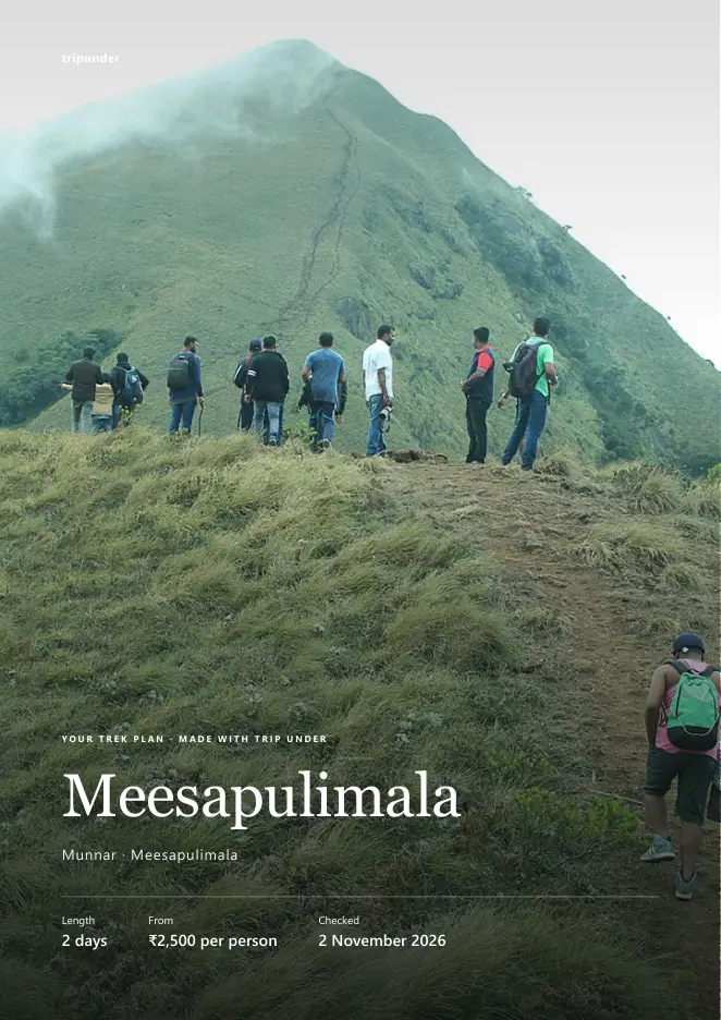
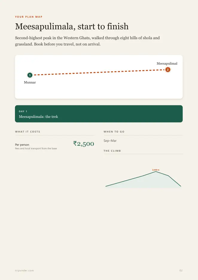
Second-highest peak in the Western Ghats, walked through eight hills of shola and grassland. Book before you travel, not on arrival.
On the trail now and the next 7 days
Loading the forecast…
Forecast for the trek's map point. It is usually colder and windier at the top.
Meesapulimala, planned for you
Day-by-day timings, the route, what each part costs, where to sleep and eat, and a checklist. One PDF that works offline: print it, or send it to everyone going.
- Day 1 Meesapulimala: the trek
- TravelBase: Munnar, 25 km
- PermitPermits and entry
- On the trailMedium trek to 2,640 m₹2,500
₹49 once, 4 pages. Secure payment by Razorpay, instant download. Already bought? Get your download
The route
Tap a place: the map zooms to it.
On the map
Meesapulimala · Open in Google Maps ↗
The climb
How to reach the start
Bus to Munnar, then the forest development agency's own jeep to Rhodo Valley. There is no independent access.
Step 3 of 6Next: Permits↓Permits and rules
Rules change. Check the park office or official booking system before you travel.
Step 4 of 6Next: Gear↓What to carry
What it costs
Ballpark ranges, not live quotes. Prices last updated 6 October 2026. Prices move with season and demand, so check live fares before you book. Spot a wrong price? Tell us and we fix it.
Covers local transport, permits or entry, a guide where needed and food on the trail. Getting to Munnar is extra.
Photos
Questions people ask
How hard is the Meesapulimala trek?
Medium grade. It takes 2 days and climbs to about 2,640 m. Second-highest peak in the Western Ghats, walked through eight hills of shola and grassland. Book before you travel, not on arrival.
Do I need a permit for Meesapulimala?
Bookable only through the Kerala forest development agency. Independent entry is not permitted and people are turned away.
How do I reach the Meesapulimala trek?
Bus to Munnar, then the forest development agency's own jeep to Rhodo Valley. There is no independent access. Base: Munnar, 25 km.
What is the best season for Meesapulimala?
Sep–Mar.
How much does the Meesapulimala trek cost?
From about ₹2,500 per person from the base, covering local transport, permits or entry, a guide where required and food. The journey to the base is extra.
What should I carry?
Warm layer — it drops near zero at the camp. Everything else is provided.
Guides for Meesapulimala
Longer reads from our blog that cover this trip.
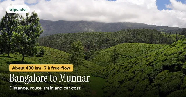 Bangalore to Munnar: Distance, the Road and Every Way to Get ThereBangalore to Munnar is about 430 km by road, roughly 7 hours of free-flow driving via Hosur, Tiruppur and…Read the guide →
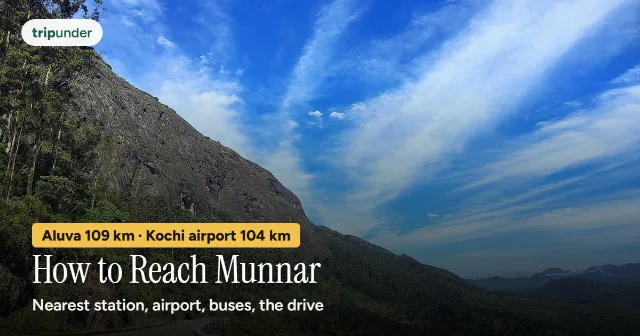 How to Reach Munnar: Nearest Railway Station, Airport, Buses and the DriveMunnar has no railway station. Aluva is about 109 km away, Ernakulam 125 km, Bodinayakanur 62 km. Kochi airport 104…Read the guide →
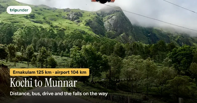 Kochi to Munnar: Distance, Drive Time, Bus and Car CostKochi to Munnar is about 125 km by road from Ernakulam, about 2 h 10 min free-flow. KSRTC buses, the drive, fuel…Read the guide →
Nearby treks
 Kurangani – Top StationModerate · 1–2 days · up to 1,880 mFrom ₹2,500
 Kolukkumalai sunriseEasy · Half day (pre-dawn) · up to 2,170 mFrom ₹2,500
 Dolphin's Nose & VattakanalEasy · Half day · up to 2,000 mNo entry fee
Places to stay near by
 VattavadaTerraced vegetable and strawberry farms in a rain-shadow valley, 45 km past Munnar's tea, where…From ₹1,100/day
 Devikulam & EravikulamA sacred lake said to hold water from the Ganges, and the national park next door where you can…From ₹1,200/day
 Valparai & AthirappillyForty hairpins up to a tea plateau where lion-tailed macaques cross the road, and India's widest…From ₹1,000/day
Sacred places near by


Costs are indicative ballparks for doing it yourself and change with season and demand. Always check live fares, rates and opening rules before you book. Trip Under is not a travel agency: we don't sell packages or bookings, we take no commission, and we link to maps and official sites, never to booking sites. Every guide is free; our only paid products are optional downloadable trip plans and itineraries. Photographs come from Wikimedia Commons under free licences; see credits.
By Gokul · Updated 6 October 2026 · Photo: Niyas8001 · CC BY-SA 4.0 · source · Photo: Sivakumar1605 · CC BY-SA 4.0 · source · Photo: Jaseem Hamza · CC BY 3.0 · source

